 |
 |
Marine Debris
| Miyako Island (24.901151, 125.273066) |
|
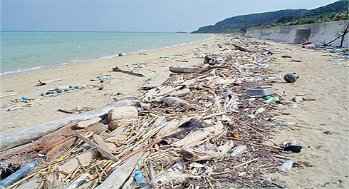
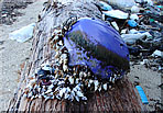
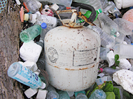
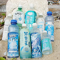
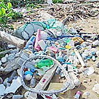
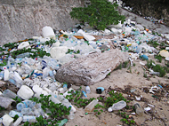
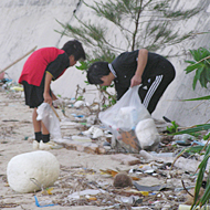
After storms, beaches of Miyako Island become full of drifting trash. Those trash can be plastic bottles, plastic bags, fishing gears, syringes, or other products. Most materials drift from either China, Taiwan, Vietnam, Korea, or other Asian nations to Miyako Island.

We need to clean the beaches because whenever high tides come, all the trash will flow back into the ocean and harm the sea creatures and ecosystem. |
 |
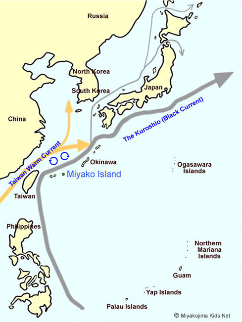
Miyako Island is located by two ocean currents heading north. The currents are the East China Sea current and the Kuroshio (Black current), which is the largest current in the world. Those two currents flow to the west coast of the United States and Canada. After traveling west, the currents flow back after 4.5 years.
The marine debris (drifting trash) of southeast Asian flow past Taiwan and gather near the sea of the Ryukyu basin, which includes Miyako Island. We should get data on the drifting trash to prevent anymore trash from spreading in the ocean. |
Landscape
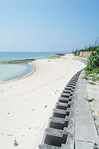
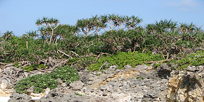
| Many constructions that build concrete walls or lay asphalt cause great damage to the landscapes of the island. Unnecessary projects should be stopped in order to preserve the island's natural environment. |
| Miyako Island (24.750456, 125.256093) |
|
| |
| Miyako Island (24.750456, 125.256093) |
|
|
|
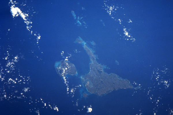
This picture of Miyako island was taken by the observation satellite, Landsat. The photo taken shows the island clearly as there are very few clouds. If you look north of Ikema Island, you can see the spread of coral reefs (yabiji). Surprisingly, the view from space shows that the amount of coral reefs around the island is fewer than expected. Another thing that can be seen through this picture is the island’s lack of greenery. We can see trees in the Ono Forest, Ikema swamp, and the western area of the Shimoji airport but other than those areas, the rest of the island is made up of farmland and cities.
It would be nice to have more greenery on our island.  |
| (Photo Courtesy: USGS Earth Resource Observation and Science Center, STS043-608-39) |
| |
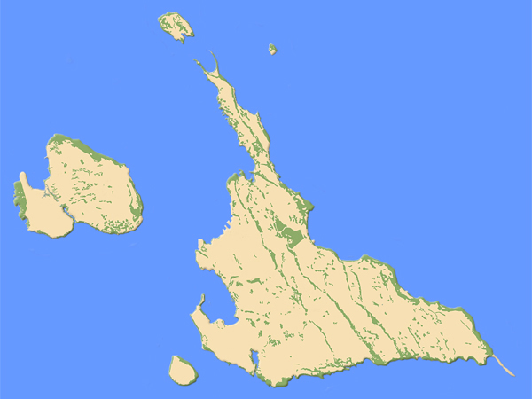
Miyakojima Kids Net edited this map for the purpose of education based on the photograph data using a technique called the “Remote Sensing Extraction System”. This shows the distribution of forests and the plants based on a satellite photo of Miyako Island.
We created a filter and used 3D processing to make it easy to find where in Miyako Island the trees and plants are located. With the yellow area representing developed land and the green representing vegetation, you can clearly see how little trees and plants grow on the island.
(Original Photo Courtesy: esri ArcGIS System) |
|
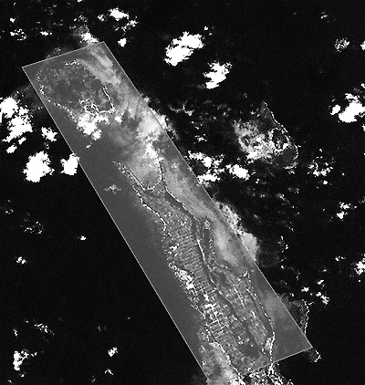 |
Miyako Island Kids Net (www.miyakojima-kids.net) made this analytical photograph with an optical sensor system.
Based on a recent satellite, these photos were generated as a distribution model to find areas of plants and vegetation along the coast line of Miyako Island.
From this picture, you can see the Ikema Island and Karimata district (the northern part of Miyako Island) and a volume of slightly-pitted plant covered area can be seen along the shore line. |
The photo shown here is in gray scale only, but we can use other color filters and different wavelengths to find more details.
By keep track of all of these data, we will be able to know the development of the shoreline from the past and keep records for the future. Hopefully, the island can be protected from wreckage on the environment through disorderly land developments. |
| (Original Photo Courtesy: USGS Earth Resource Observation and Science Center) |
|
 |


.jpg)